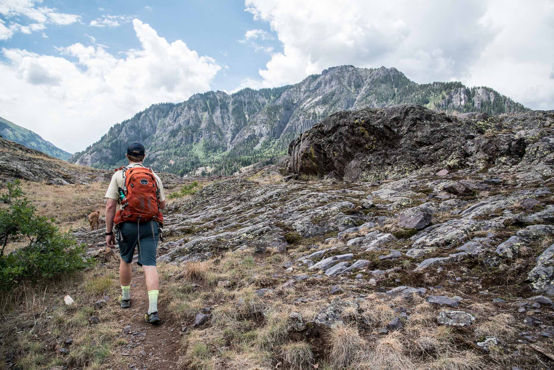
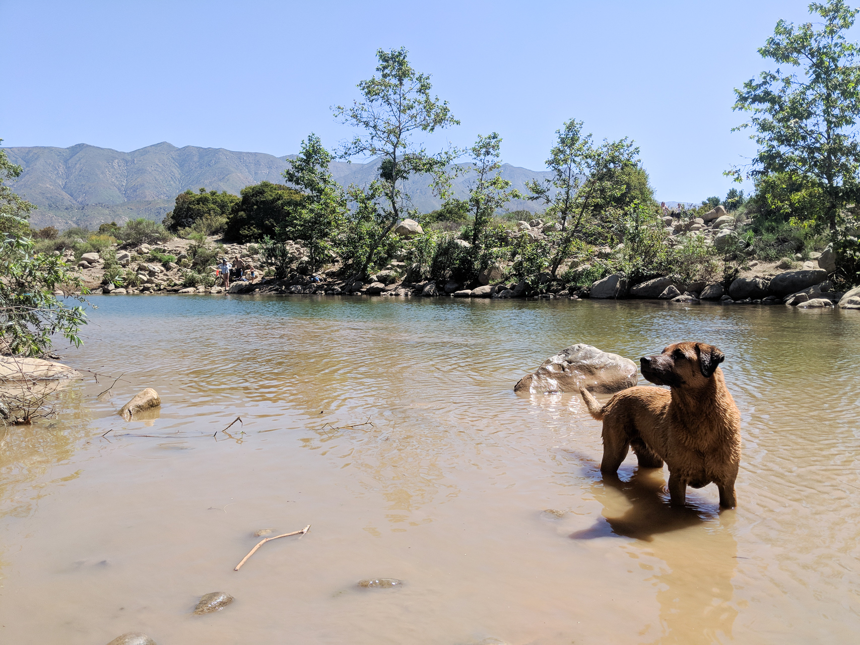
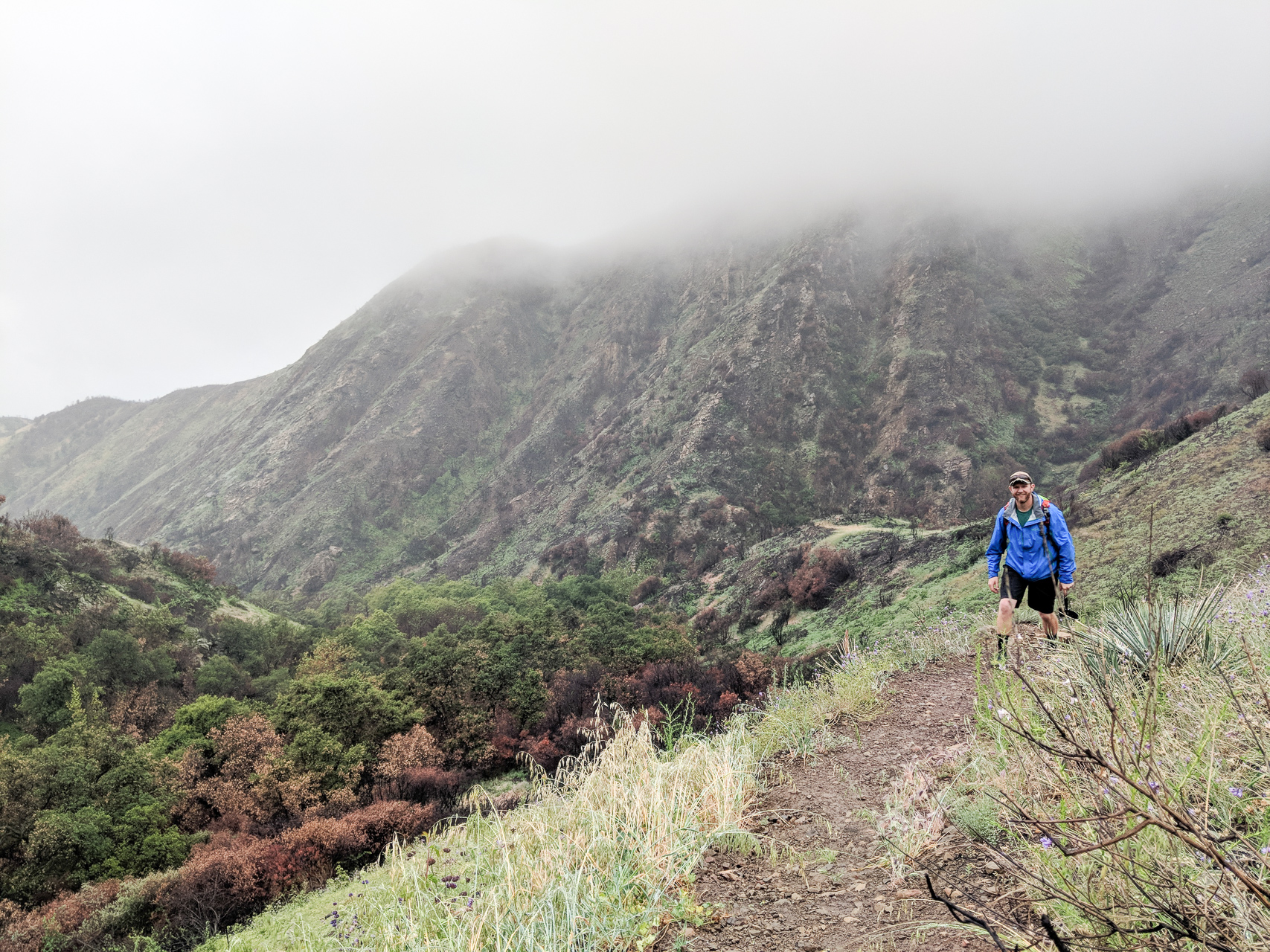
Name of Hike: Perimeter Trail Trail(s): Perimeter Trail Location: Ouray, CO Wilderness Area: San Juan National Forest Type of Hike: Loop Difficulty: Moderate (strenuous if you’re not used to altitude!) Distance/elevation: 5.8 miles, 1345 ft elevation gain Estimated Time Commitment: Hiking times can vary for a number of reasons, but we estimate most people would be able to complete this hike in 3-4Continue reading “Perimeter Trail”
Author Archives: dschryver
South Rim Trail
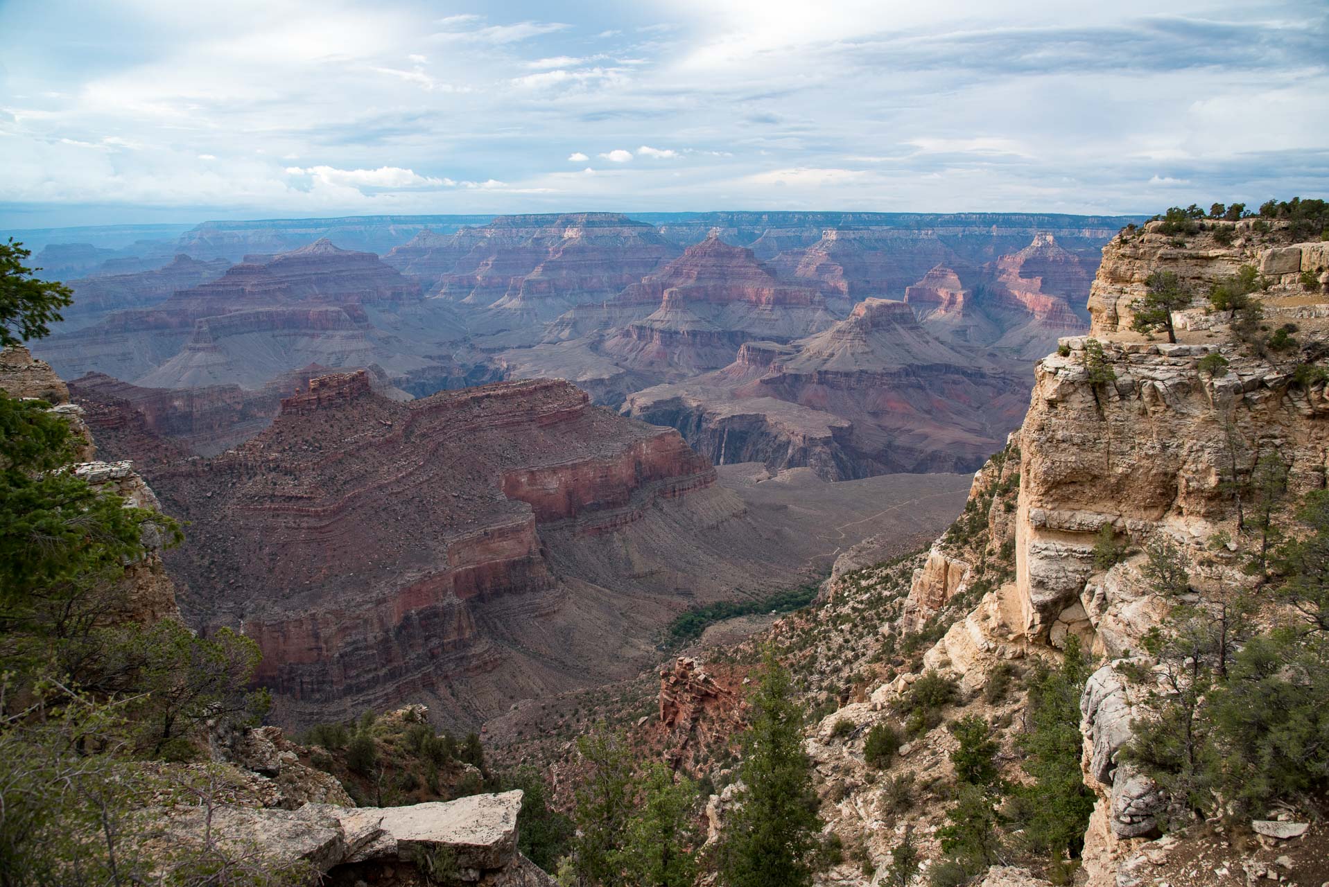
Name of Hike: Grand Canyon South Rim Trail Trail(s): South Rim Trail Location: Grand Canyon, Tusayan, AZ Wilderness Area: Grand Canyon National Park Type of Hike: Out-and-back or one way (facilitated by shuttle buses) Difficulty: Easy Distance: 12.8 miles one way Estimated Time Commitment: Hiking times can vary for a number of reasons, including but not limited to hiking distance, shuttle times and photoContinue reading “South Rim Trail”
Castle Rock
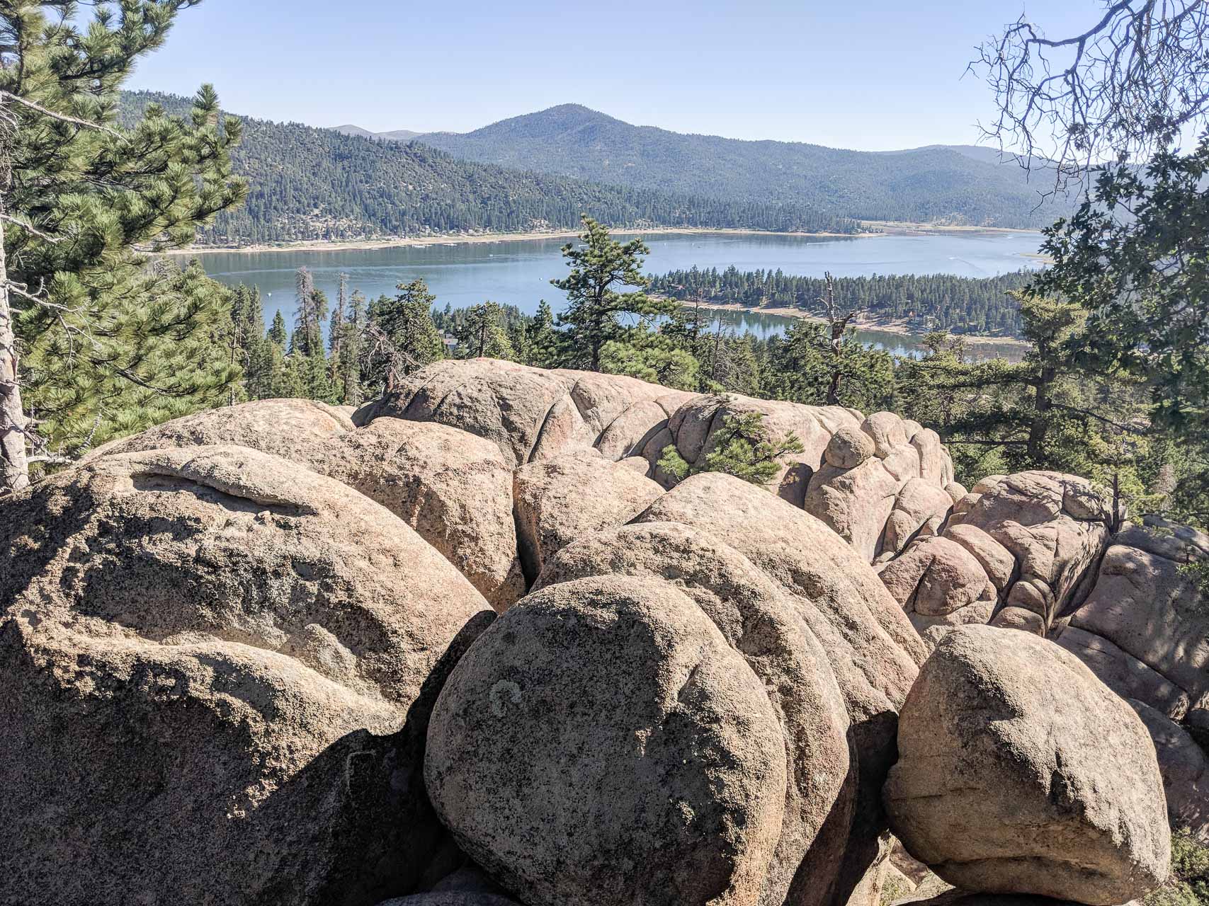
Name of Hike: Castle Rock Trail(s): Castle Rock Trail Location: Big Bear Lake, CA Wilderness Area: San Bernardino National Forest Type of Hike: Out-and-back Difficulty: Moderate Distance/elevation: 1.4 miles, 423 ft elevation gain Estimated Time Commitment: Hiking times can vary for a number of reasons, but we estimate most people would be able to complete this hike in 1-2 hours. Views: Yes, there areContinue reading “Castle Rock”
Cozy Dell
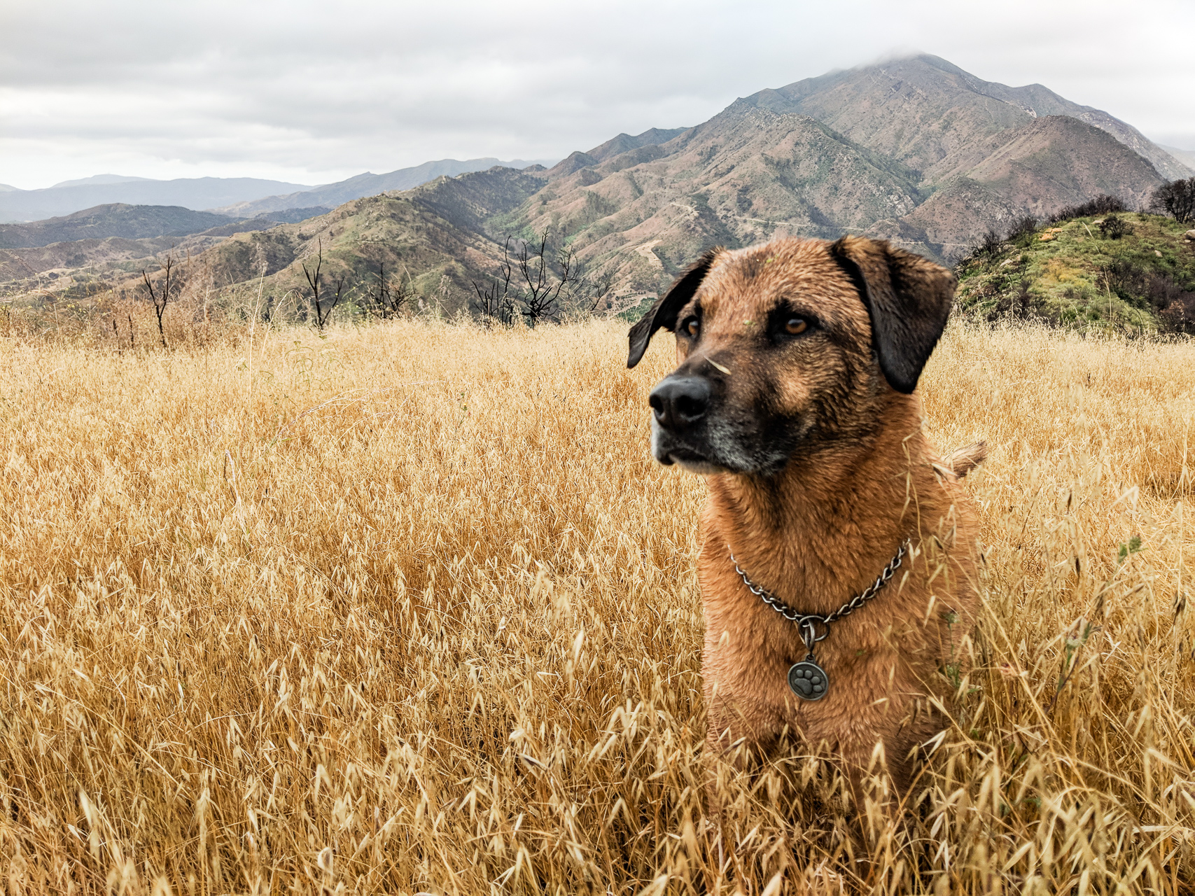
Name of Hike: Cozy Dell Trail Trail(s): Cozy Dell Trail Location: Meiner’s Oaks, CA Wilderness Area: Los Padres National Forest Type of Hike: Out-and-back Difficulty: Moderate Distance/elevation: 3.75 miles, 886 ft elevation gain Estimated Time Commitment: Hiking times can vary for a number of reasons, but we estimate most people would be able to complete this hike in 2-3 hours. Views: Yes,Continue reading “Cozy Dell”
Ventura River Preserve
Name of Hike: Orange Grove Trail to the Upper River Loop Trails Trail(s): Orange Grove Trail, Wills Crossover, Upper River Loop Trails Location: Meiner’s Oaks, CA Wilderness Area: Ventura River Preserve Type of Hike: Loop Difficulty: Easy Distance/elevation: 2.5 miles, 113 ft elevation gain Estimated Time Commitment: Hiking times can vary for a number of reasons, but we estimate most peopleContinue reading “Ventura River Preserve”
The Pines
Name of Hike: The Pines Trail(s): Horn Canyon Location: Ojai, CA Wilderness Area: Los Padres National Forest Type of Hike: Out-and-back Difficulty: Moderate Distance/elevation: 5 miles, 1,655 ft elevation gain Estimated Time Commitment: Hiking times can vary for a number of reasons, but we estimate most people would be able to complete this hike in 2-3 hours. Views: Yes, there are someContinue reading “The Pines”
Twin Peaks
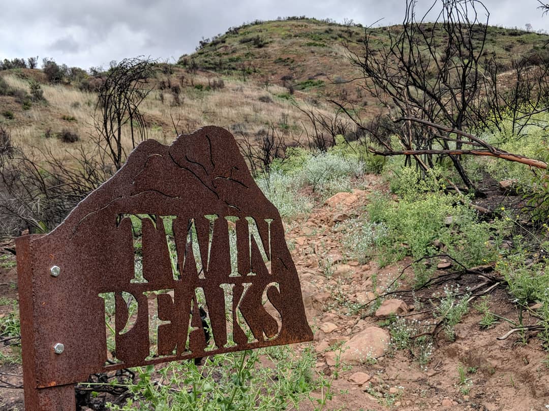
Name of Hike: Twin Peaks Trail(s): Horn Canyon, L.Moore, Twin Peaks Location: Ojai, CA Wilderness Area: Los Padres National Forest Type of Hike: Out-and-back Difficulty: Strenuous Distance/elevation: 4.68 miles, 1,868 ft elevation gain Estimated Time Commitment: Hiking times can vary for a number of reasons, but we estimate most people would be able to complete this hike inContinue reading “Twin Peaks”
