Name of Hike: Perimeter Trail
Trail(s): Perimeter Trail
Location: Ouray, CO
Wilderness Area: San Juan National Forest
Type of Hike: Loop
Difficulty: Moderate (strenuous if you’re not used to altitude!)
Distance/elevation: 5.8 miles, 1345 ft elevation gain
Estimated Time Commitment: Hiking times can vary for a number of reasons, but we estimate most people would be able to complete this hike in 3-4 hours.
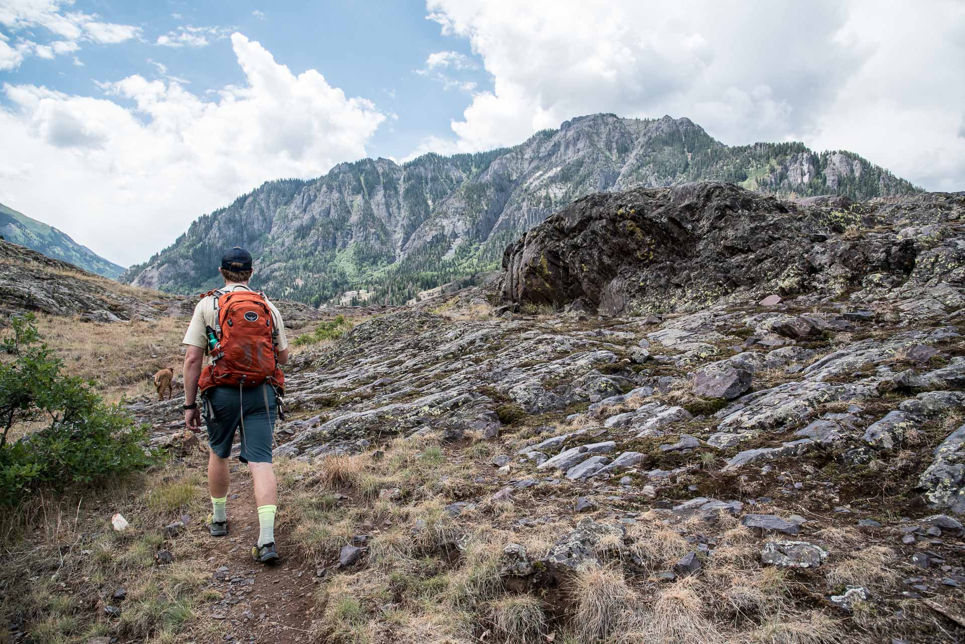
Views: Yes, there are some great views along the Perimeter Trail. There are some spots with panoramic views of the valley and overlooking the town. Additionally, you get right up to the Lower Cascade Falls and traverse Box Canyon.
Popularity: The Perimeter Trail is very popular (especially during the summer months), and you can expect to encounter many other hikers and potentially hikers with canine companions.
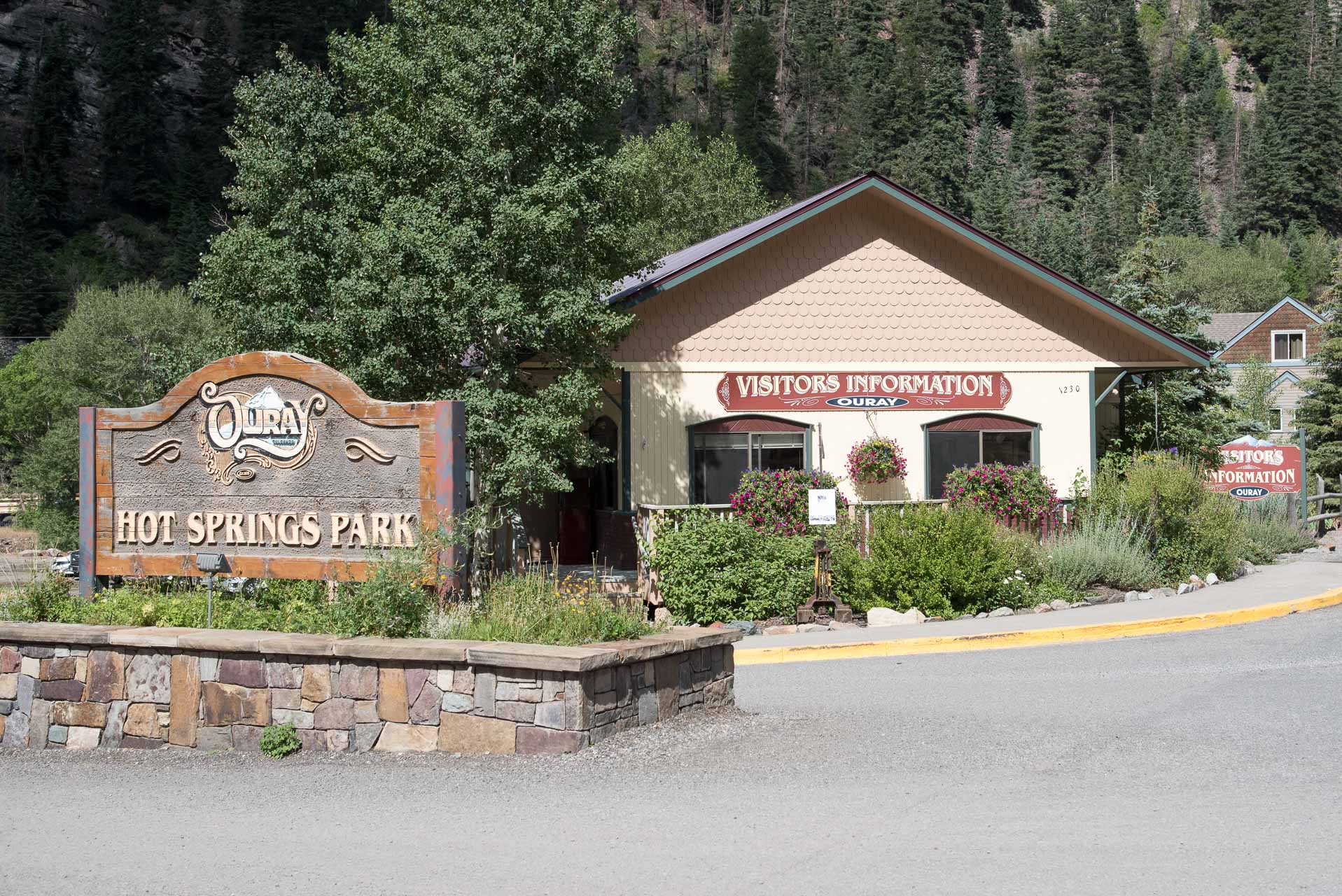
Facilities/restrooms: Yes, there are very nice public restrooms at the Ouray Visitor’s Center across the street from the most popularly used trailhead.
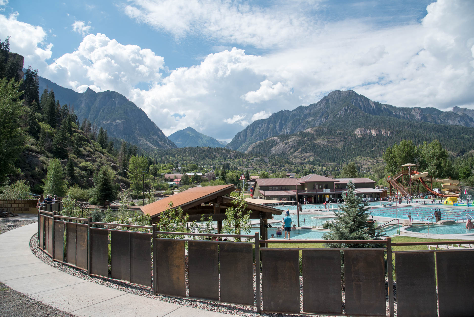
Directions: The Perimeter Trail is a loop trail that can be accessed from many different spots in Ouray. The most popular trailhead is across the street from the Ouray Visitor’s Center. The 550 is the main route in and out of town. If you’re coming from Ridgeway, follow the 550 South. Before you enter the downtown area you’ll see the Visitor’s Center and the Hot Springs Park on your right. If you’re coming from Silverton, take the 550 North and travel almost all the way through town. The Visitor’s Center and the Hot Springs Park will be on the left.
Parking: There is plenty of parking in the Visitor’s Center parking area. There is additional parking across the street in a smaller gravel parking area.
The Perimeter Trail in Ouray is located in the San Juan National Forest and is open to hikers and dogs. More detailed and up-to-date information on the San Juan National Forest available here.
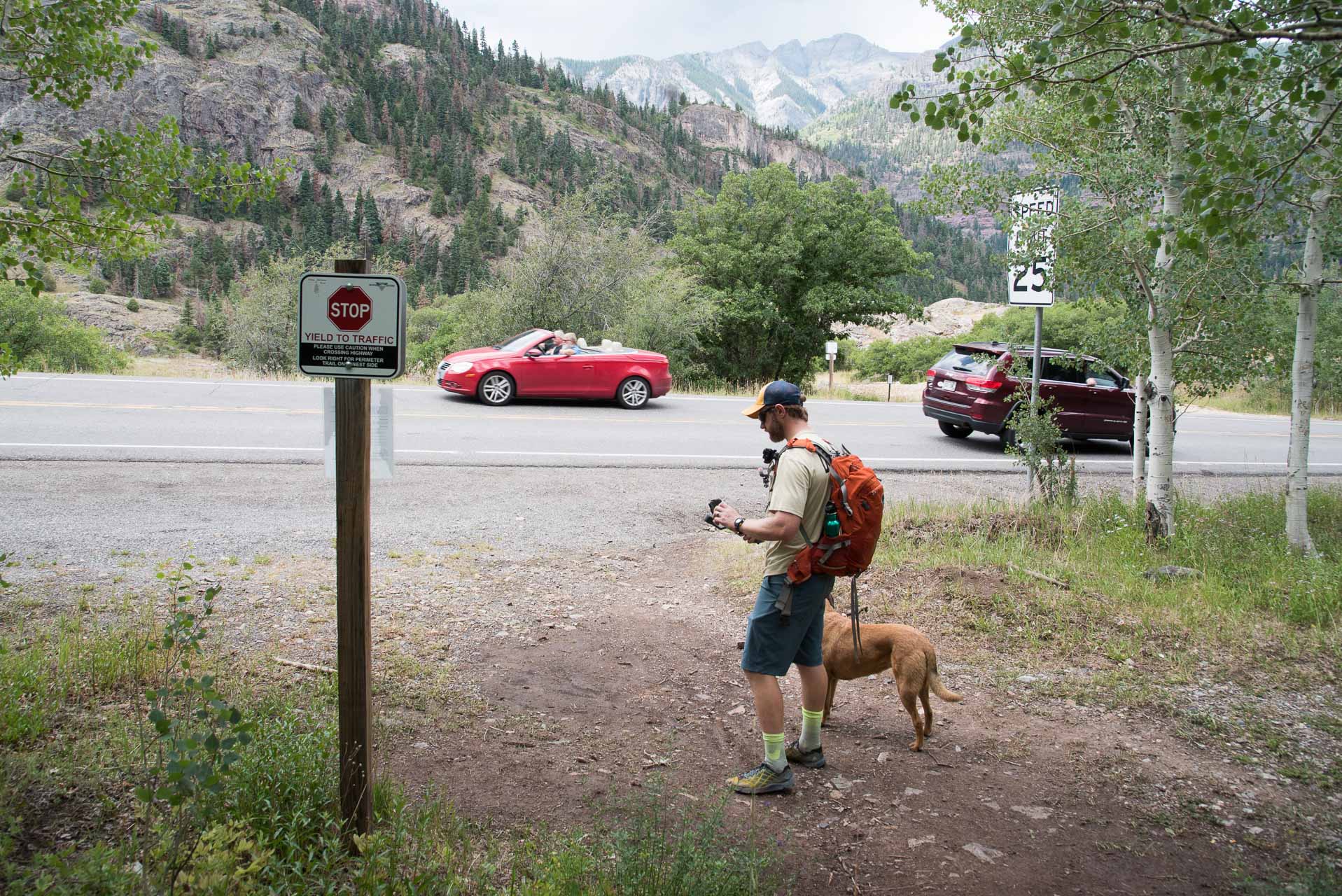
The Perimeter Trail is a loop trail and can be accessed from many different points and hiked in both directions. We started the trail from the most popular trailhead across from the Visitor’s Center and hiked in a clockwise direction (also the more popular direction of travel). Be careful crossing the 550 to get from the Visitor’s Center to the trailhead. It is a busy road with fast traveling vehicles (especially during the summer months).
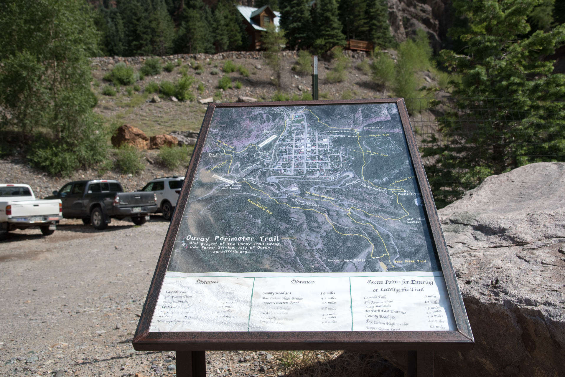
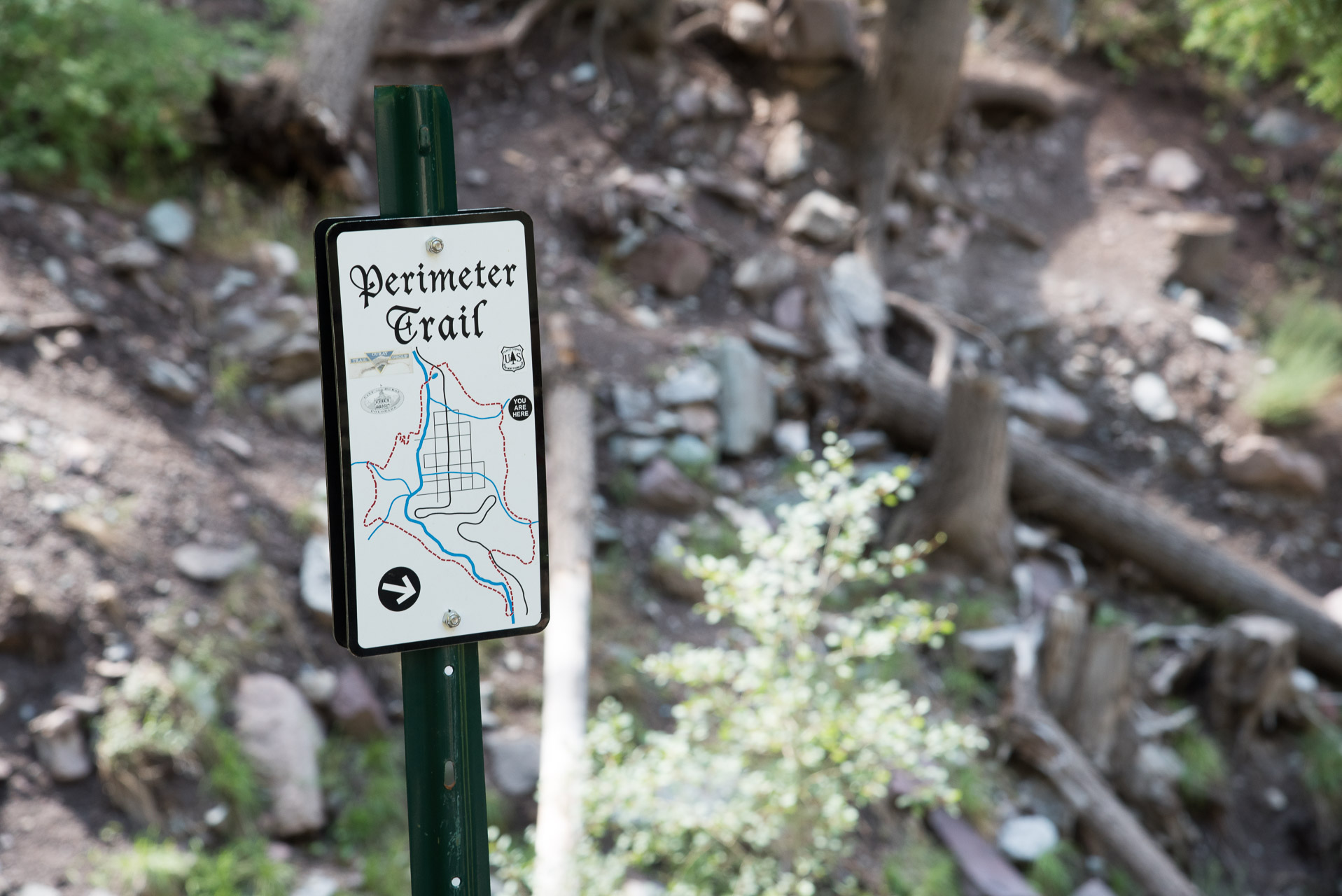
There is a sign at the Visitor’s Center trailhead with a map, distances to various places of interest along the trail and access points for entry and exit. This trail combines many of the different trails around Ouray, so we were afraid of getting confused and/or lost. However, the trail is very well marked throughout with signs indicating your exact location along the way.
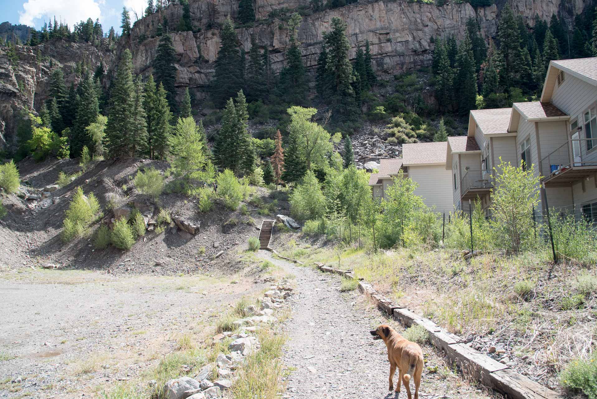
The trail starts out between a gravel parking lot and some townhome/condominium type buildings. It gains elevation pretty quickly, starting up a staircase (pictured below), with several more to follow, and proceeding to some switchbacks. It gets your heart pumping in a hurry! It also takes your breath away (for airsick lowlanders like us!).
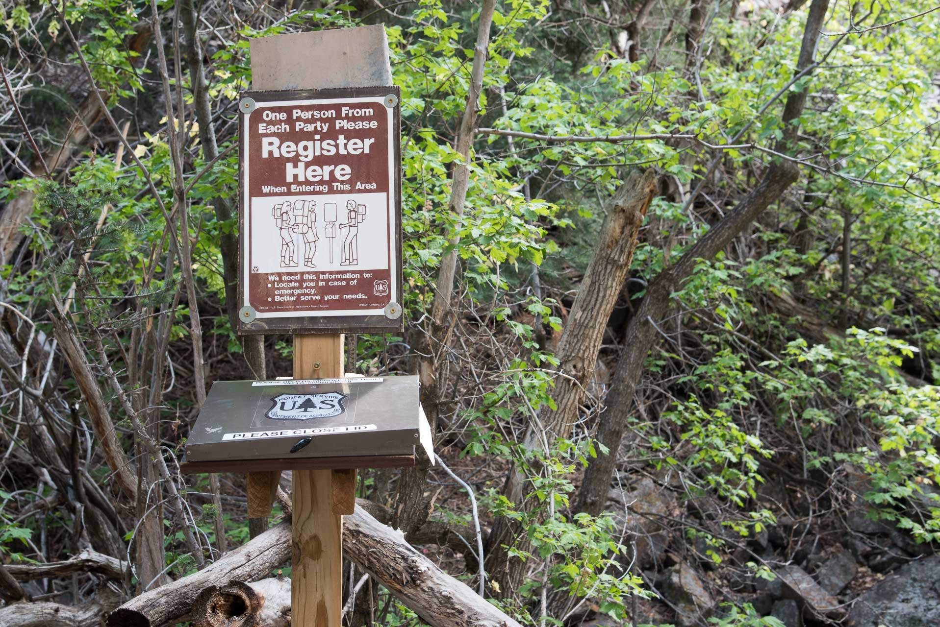
A little ways up the trail there is a spot to register your hiking group. Registering allows the Forest Service to gauge the amount of traffic on the trail. Additionally, this log provides helpful information in case a search and rescue is needed. Generally, it only asks for the names of the people in the party, zip code, date of entry/exit and hiking destination.
The initial climb from the trailhead is not particularly long in terms of distance traveled, but it affords some spectacular views of the town and surrounding mountains right away.
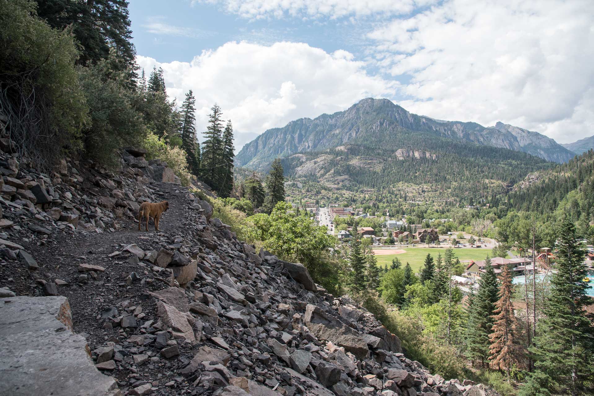
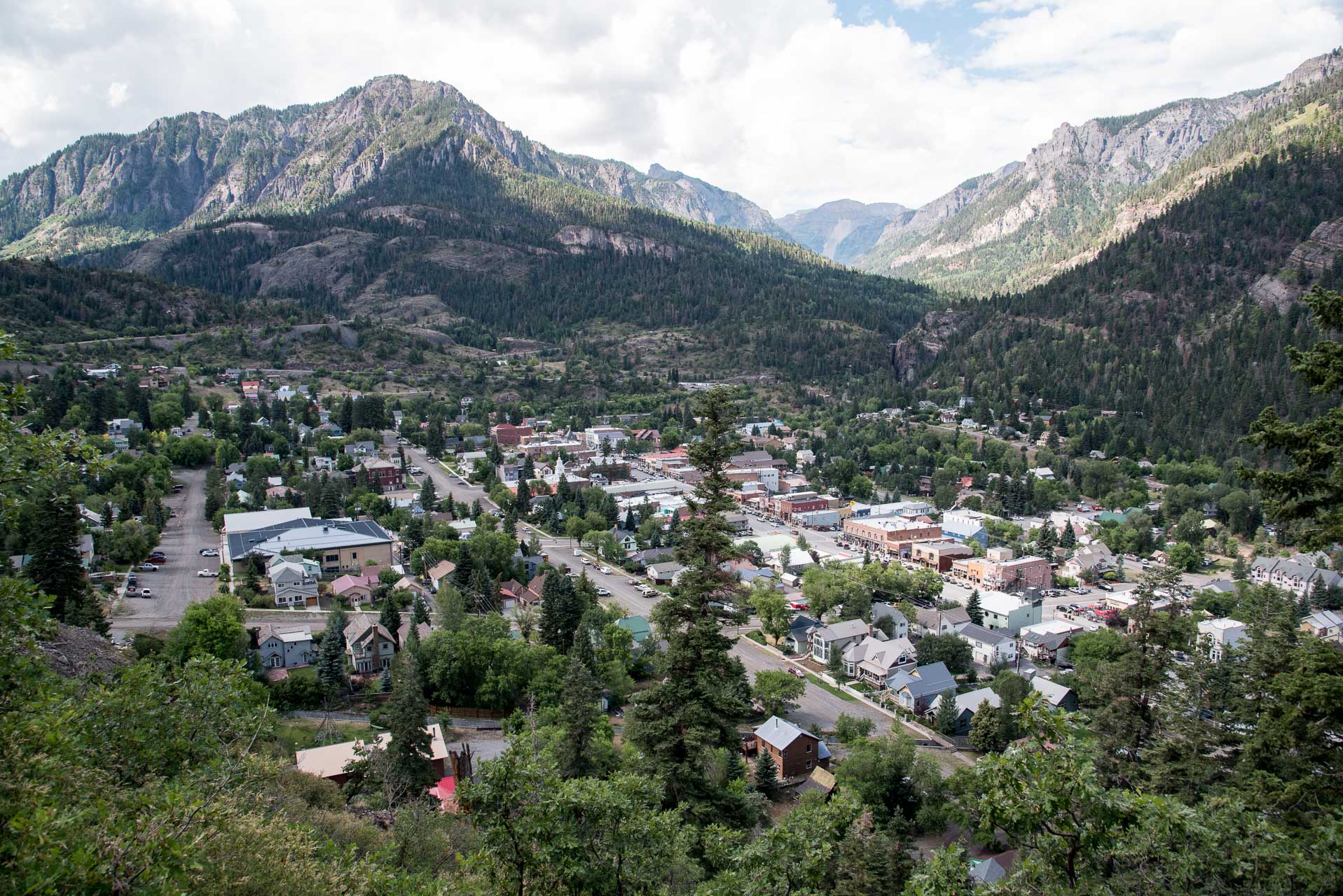
The elevation along the trail changes frequently with lots of ups and downs. For locals, it is probably only a moderately challenging trail, but for us sea-level-dwellers it was a challenging hike. There’s no one section that is overly tough, though the beginning is a bit of a slog, but the accumulation of ups and downs over roughly 6 miles wears a person out.
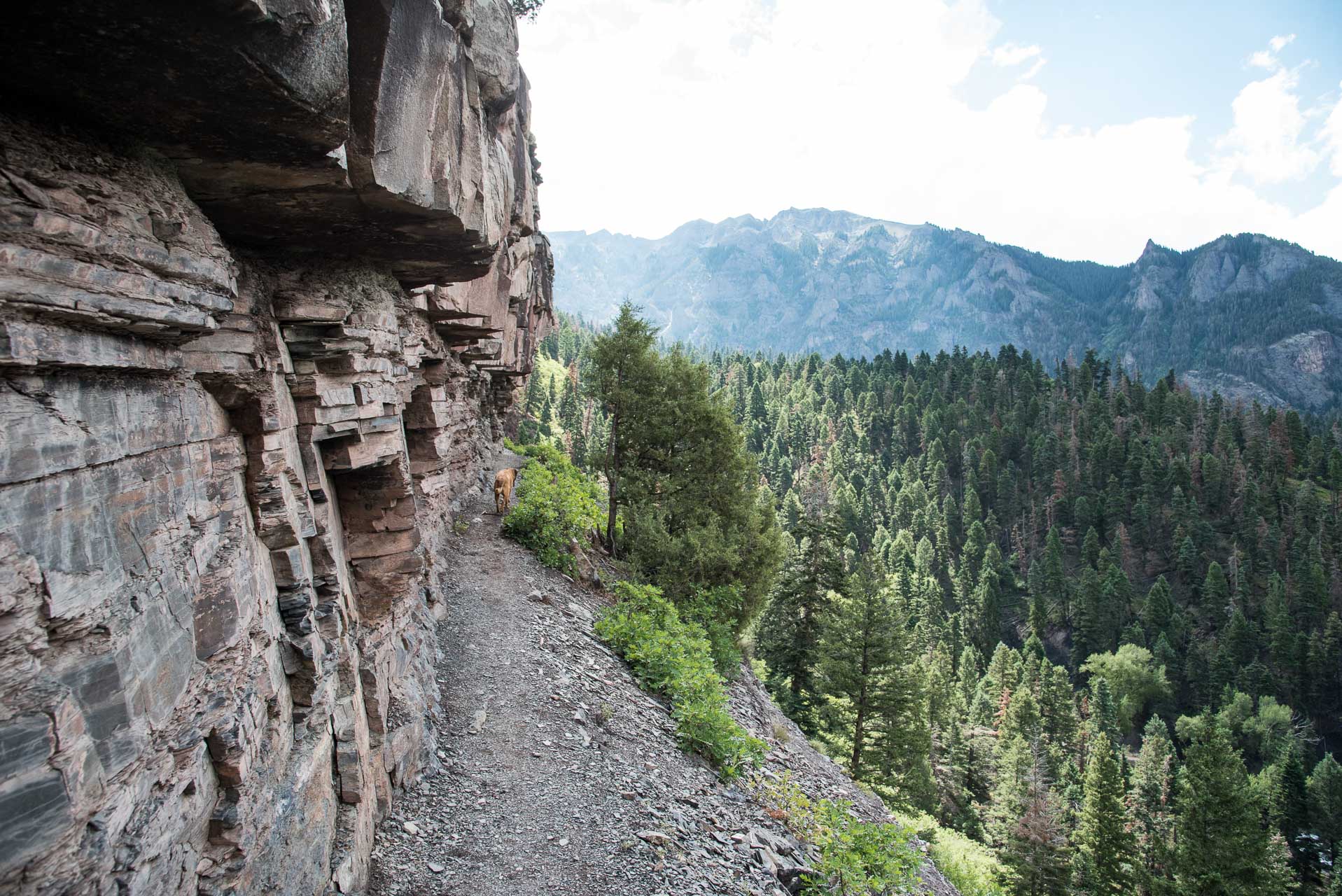
After ascending for about three-quarters of a mile, you get a side view of the Lower Cascade Falls. The trail then descends a short distance down to the base of the falls. This is a great place to stop and take a break and allow your dog to drink and cool off.
The Lower Cascade Falls has it’s own separate entry point for those interested in just a short, not very strenuous hike to the falls. You’ll cross a short, sturdy wooden bridge to continue on your way. Be mindful of the signs as you leave the falls to make sure you continue along the Perimeter Trail and don’t end up exiting towards town.
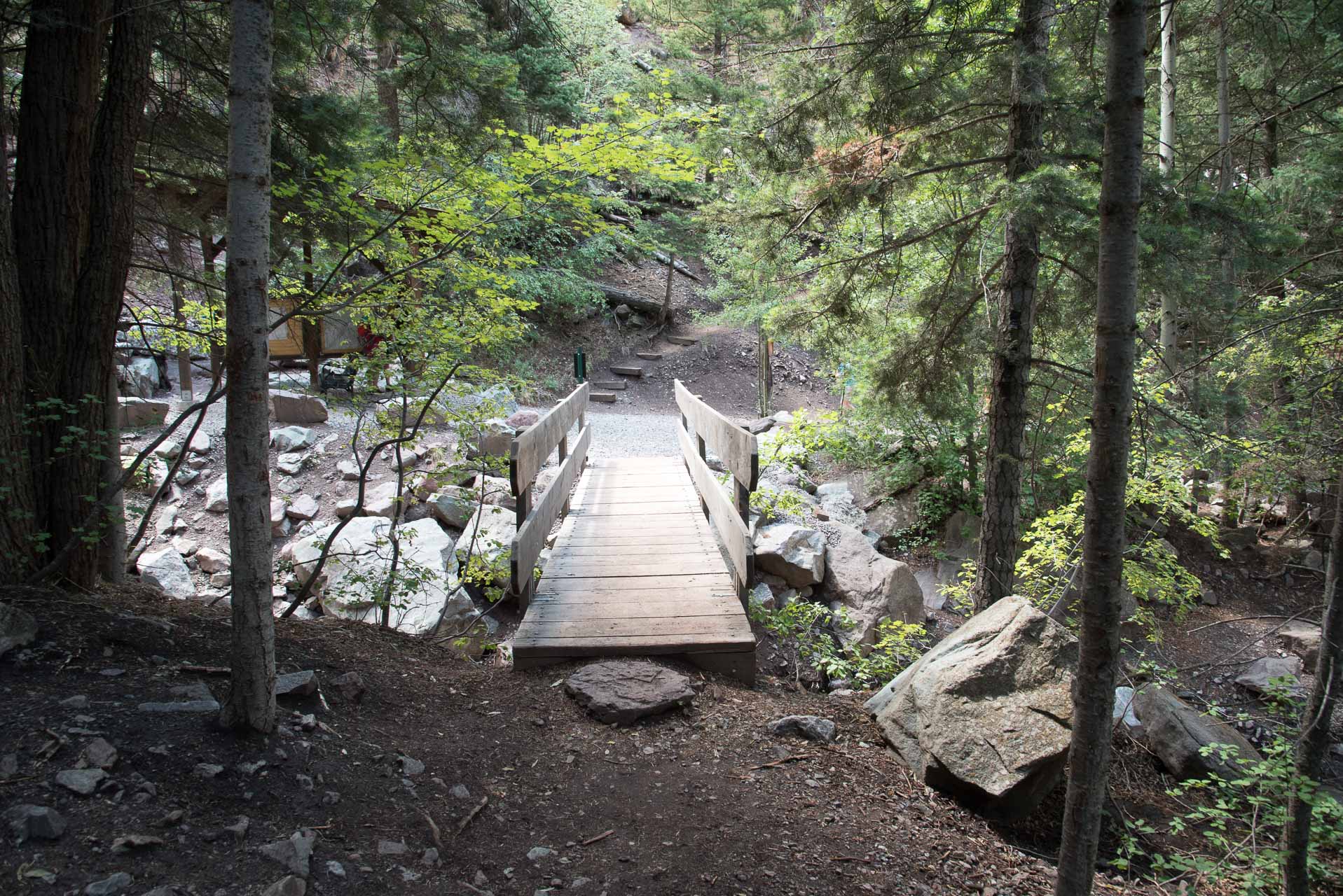
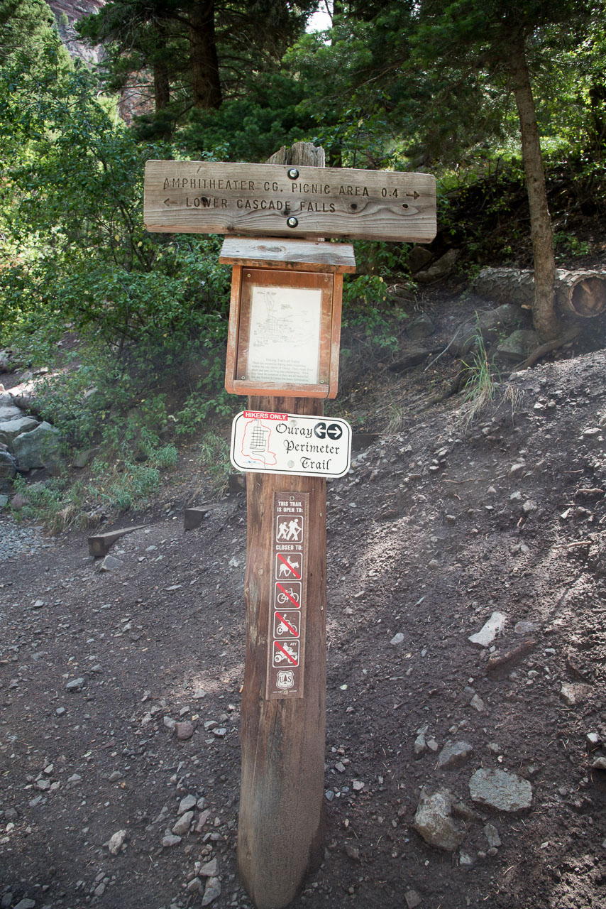
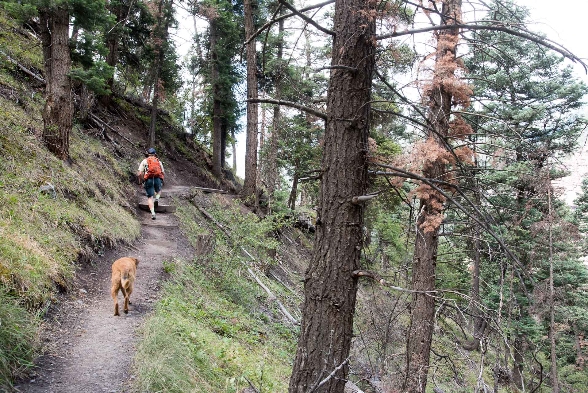
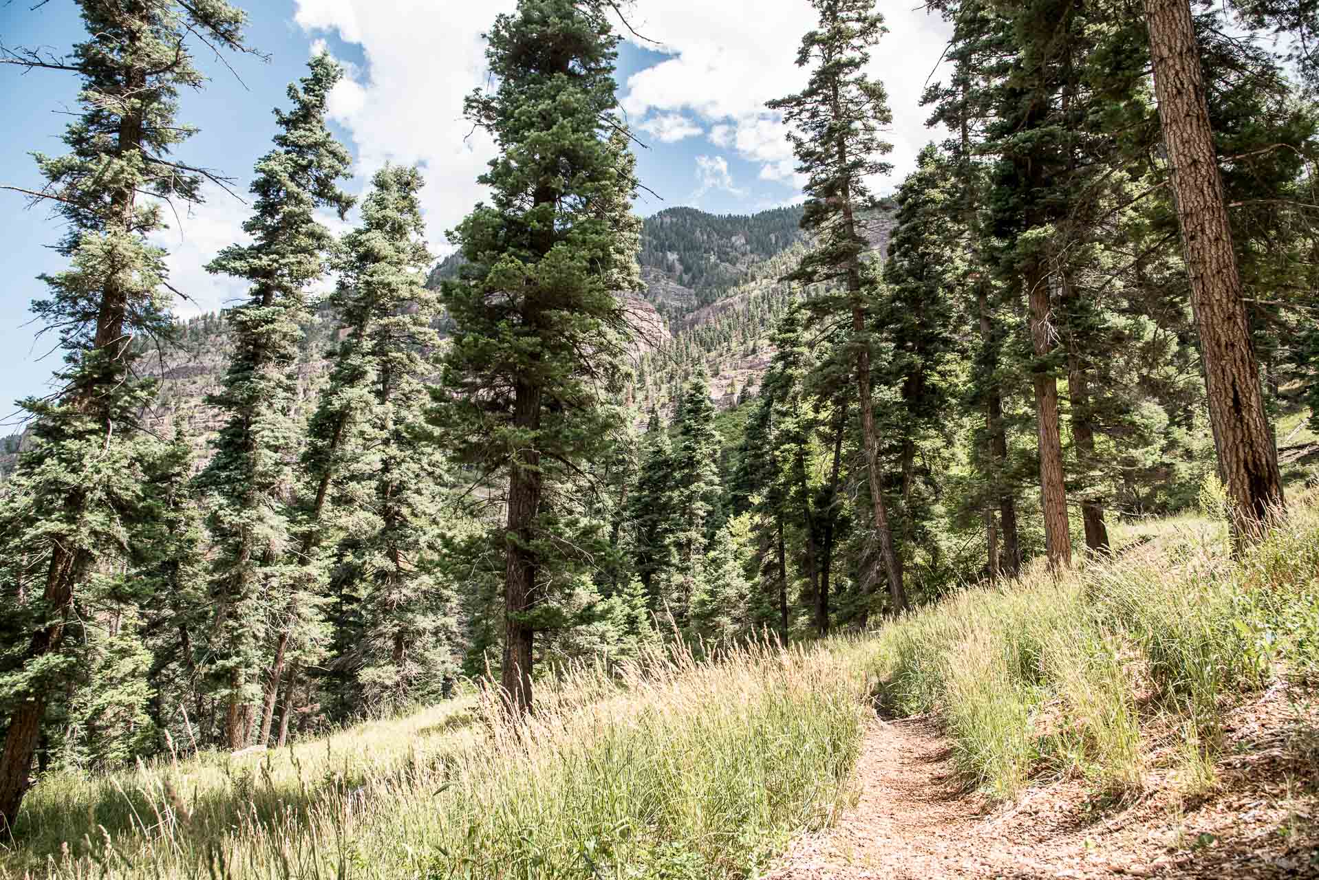
The trail ascends through a relatively lush (especially compared with what we’re used to!) forested section after leaving the falls. After this short ascent, the trail becomes much more gradual in its elevation change – though there are still many ups and downs to come.
A little less than a mile and a half into the hike the trail meets with the Amphitheater Campground Road – the Amphitheater is a distinctive ridge line on the east side of Ouray pictured later in this post. Turn right on this road and follow it a short distance to the Baby Bathtubs Trailhead.
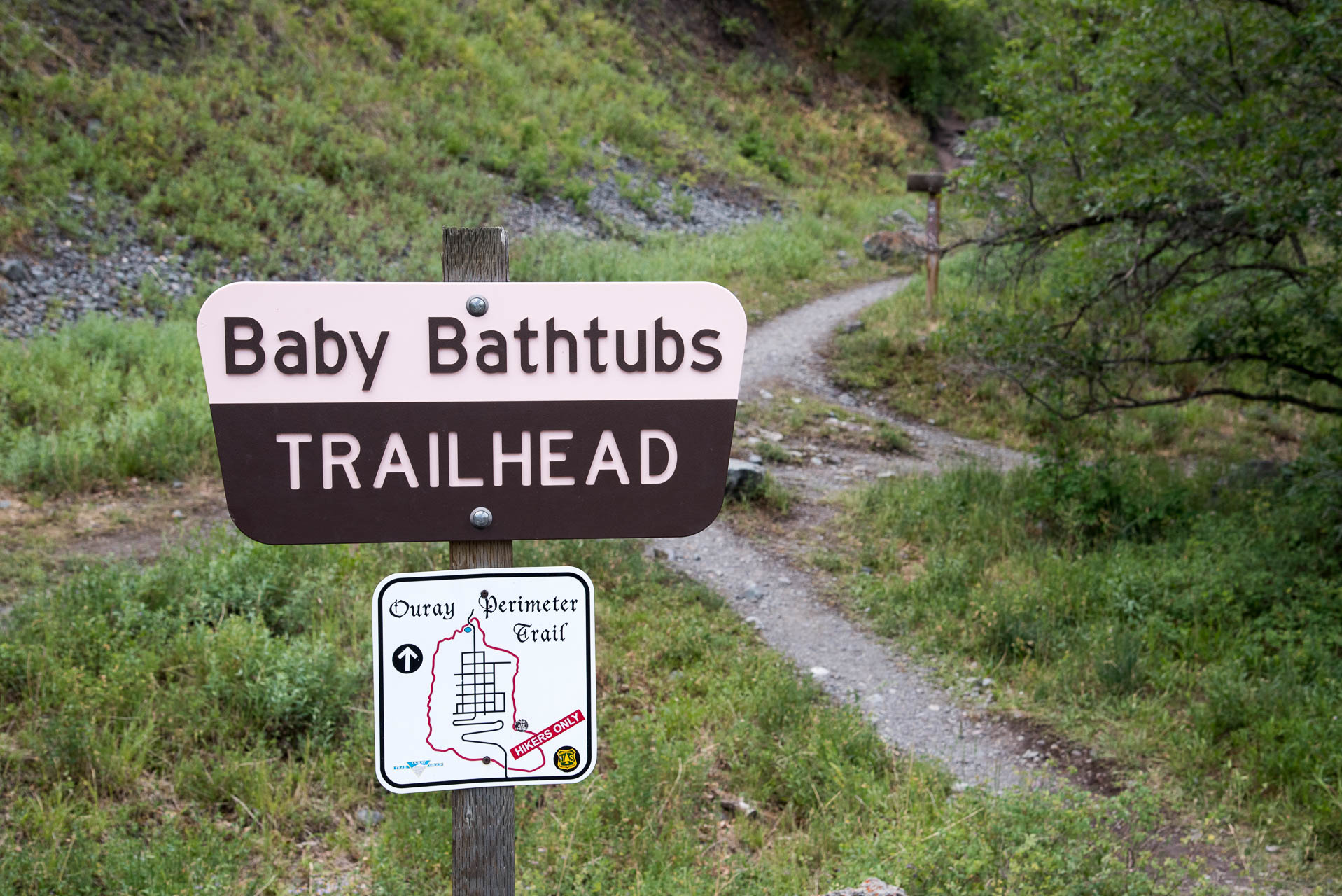
The Baby Bathtubs are bowled out sections of rock in the creek bed that are the result of erosion from swirling water. There are a few other trails that you’ll encounter along this stretch, but the signs for the Perimeter Trail are still prominent and easy to follow. You’ll cross the creek over a footbridge and eventually come to a gravel road.
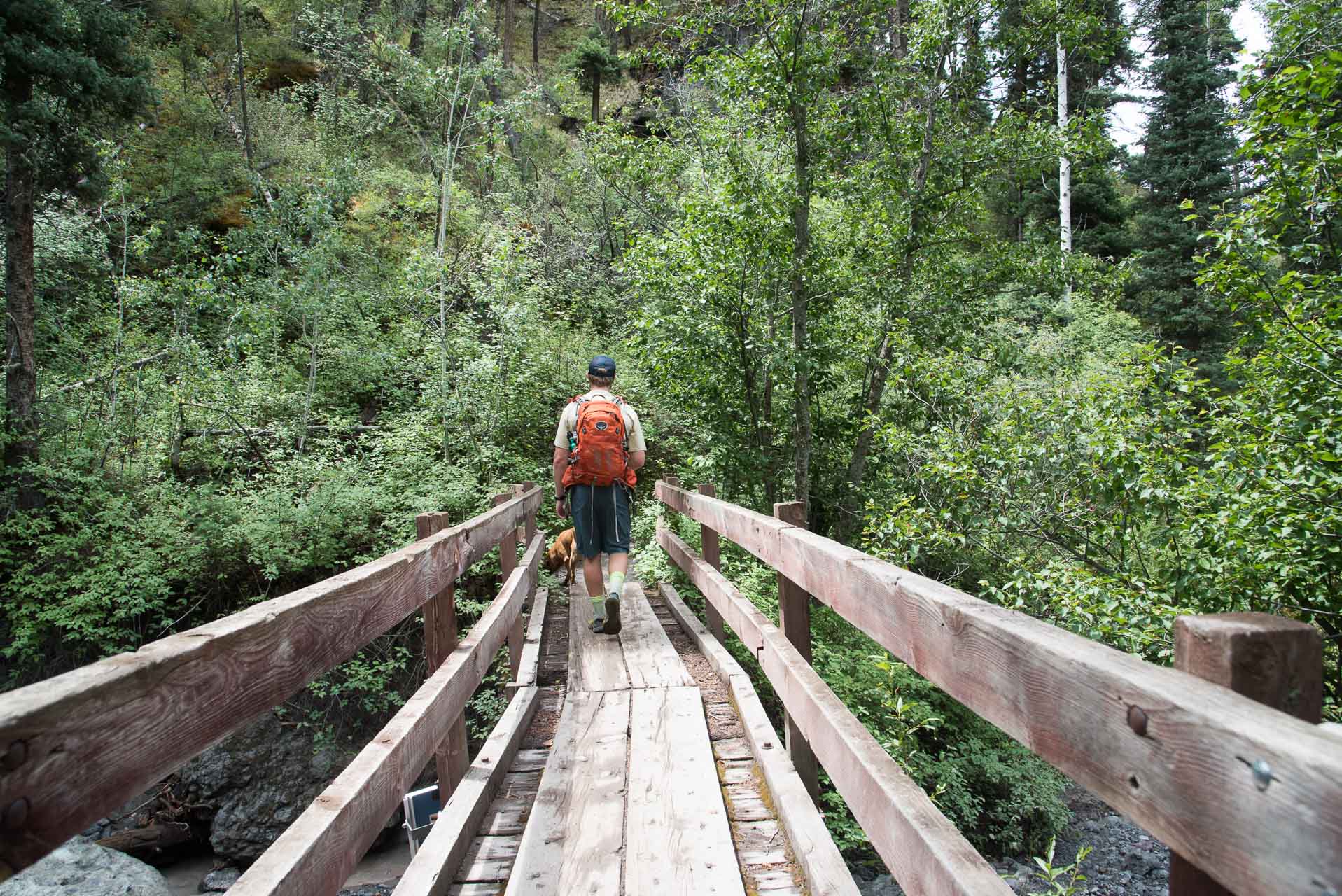
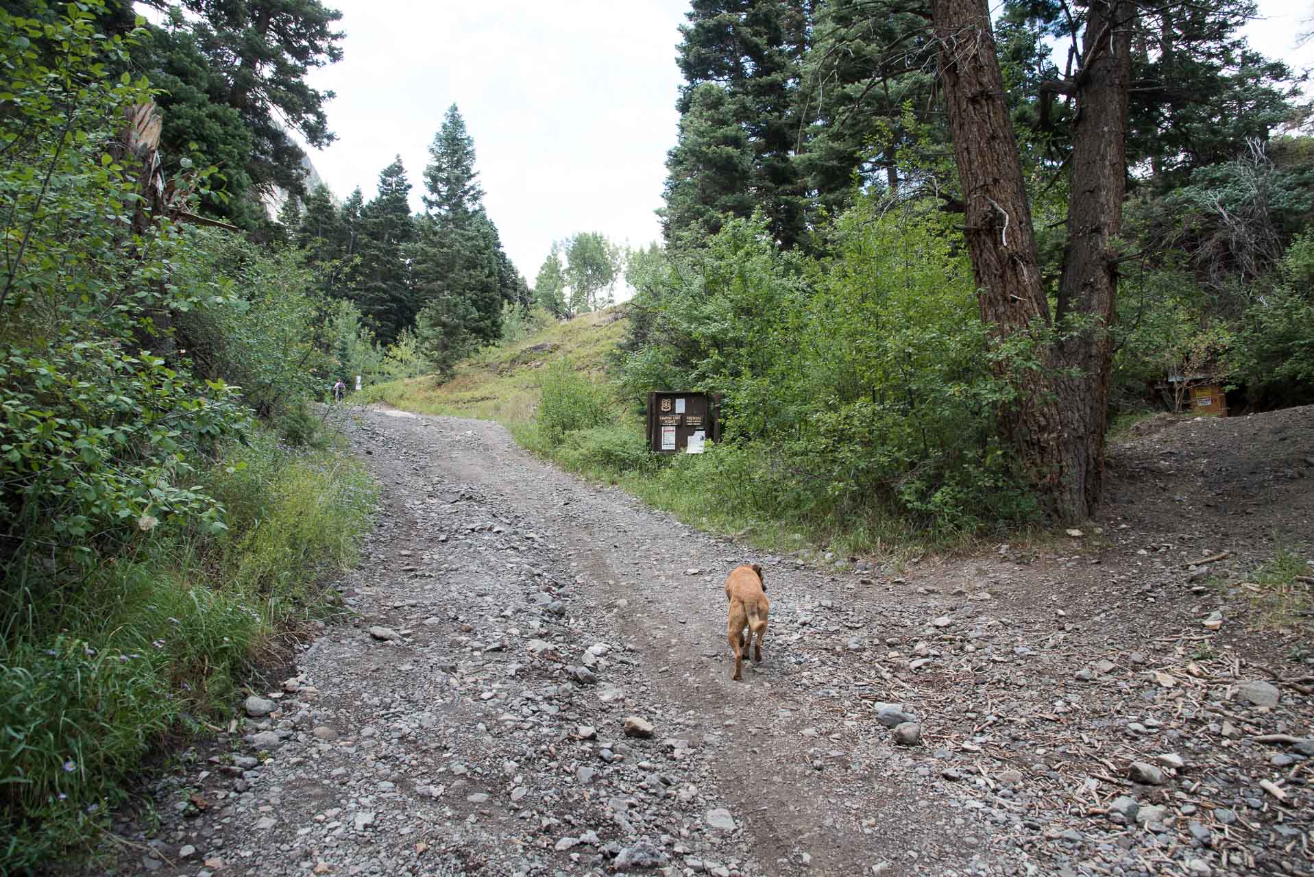
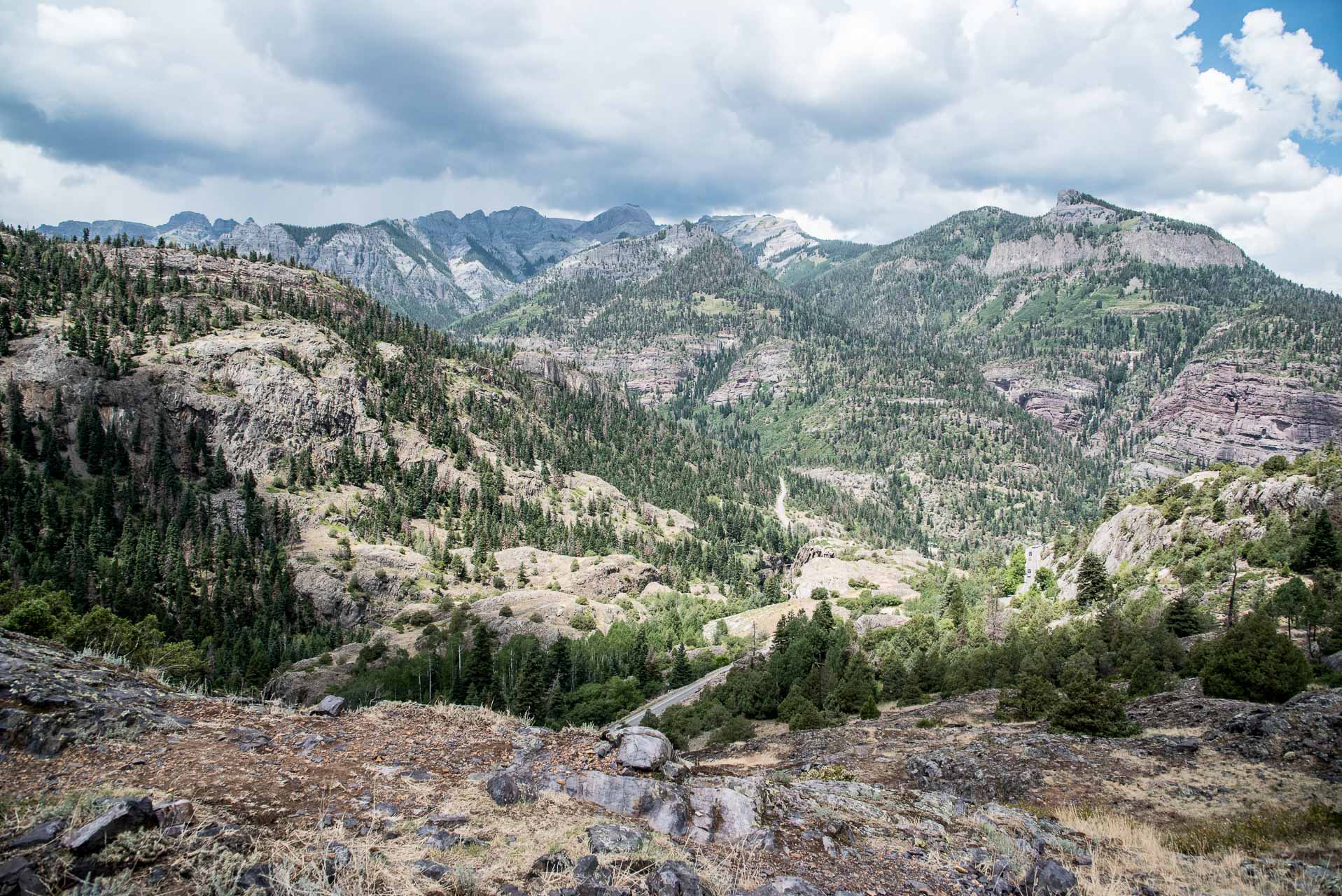
Turn left on the gravel road and hike about 50 yards uphill to a trail marker where the Perimeter Trail branches off to the right. You’ll hike through a beautiful, wide-open meadow to a rock hillock above the 550. This is a great spot to stop and have a snack, take a photo, or just enjoy the scenic beauty of Ouray. From this spot you’ll have panoramic views of Mt. Abram, Hayden Mountain and the Uncompahgre Gorge.

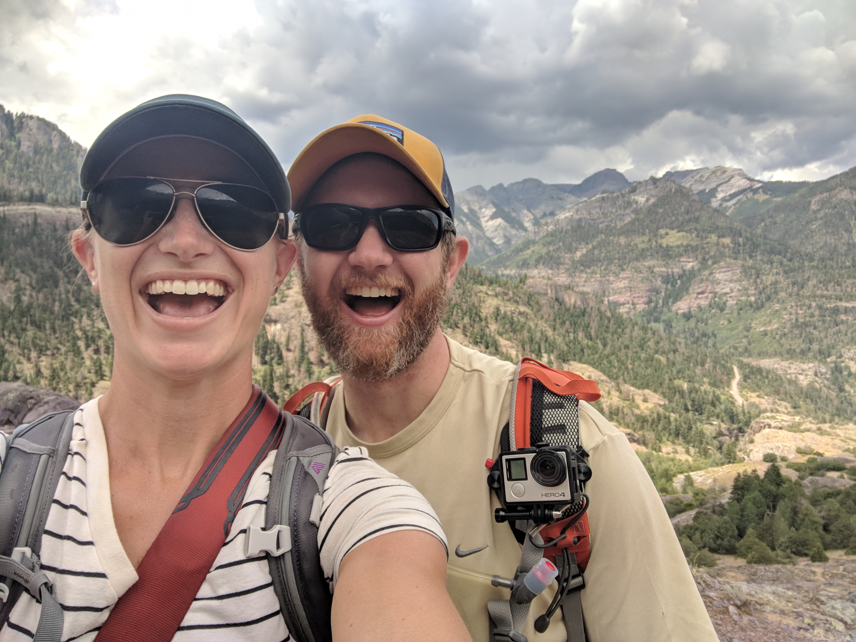
We stopped here for a customary selfie and chatted with a couple that visited the Ouray area annually during the summer months for many years. They were hiking the Perimeter Trail on this particular day, but they were avid off-road aficionados – we gather there are lots of great options for this type of adventure in Ouray.
From this hillock, the trail descends steeply down to the 550, famously known as the Million Dollar Highway. This is a windy section of road and though the speed limit is listed at 25 MPH it is right at a speed transition point and many of the cars seemed to be traveling much faster – be very careful when crossing here. Make sure your dog is on-leash or under good voice control; keep a close eye on children as well, if you have them.
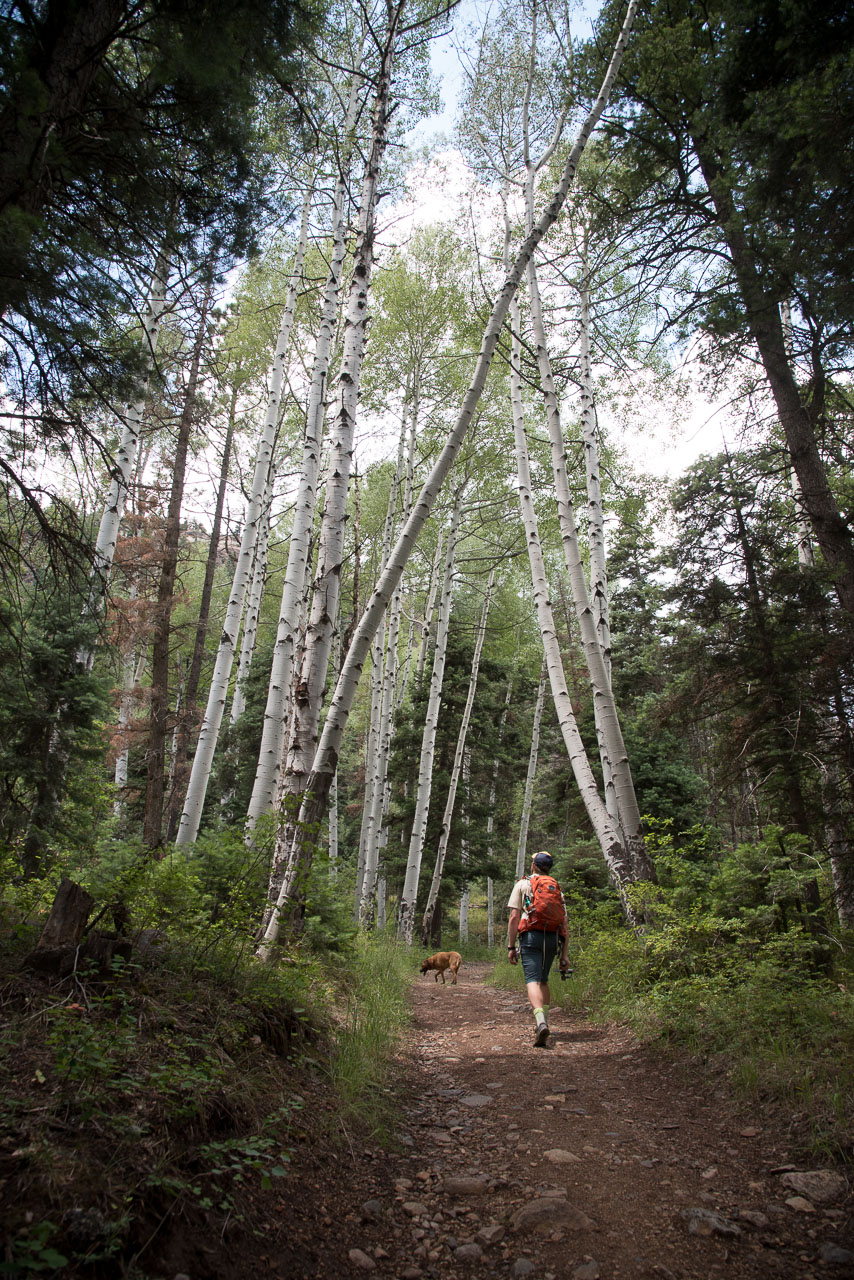
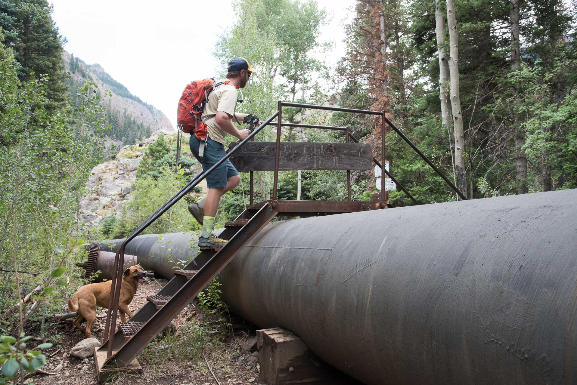
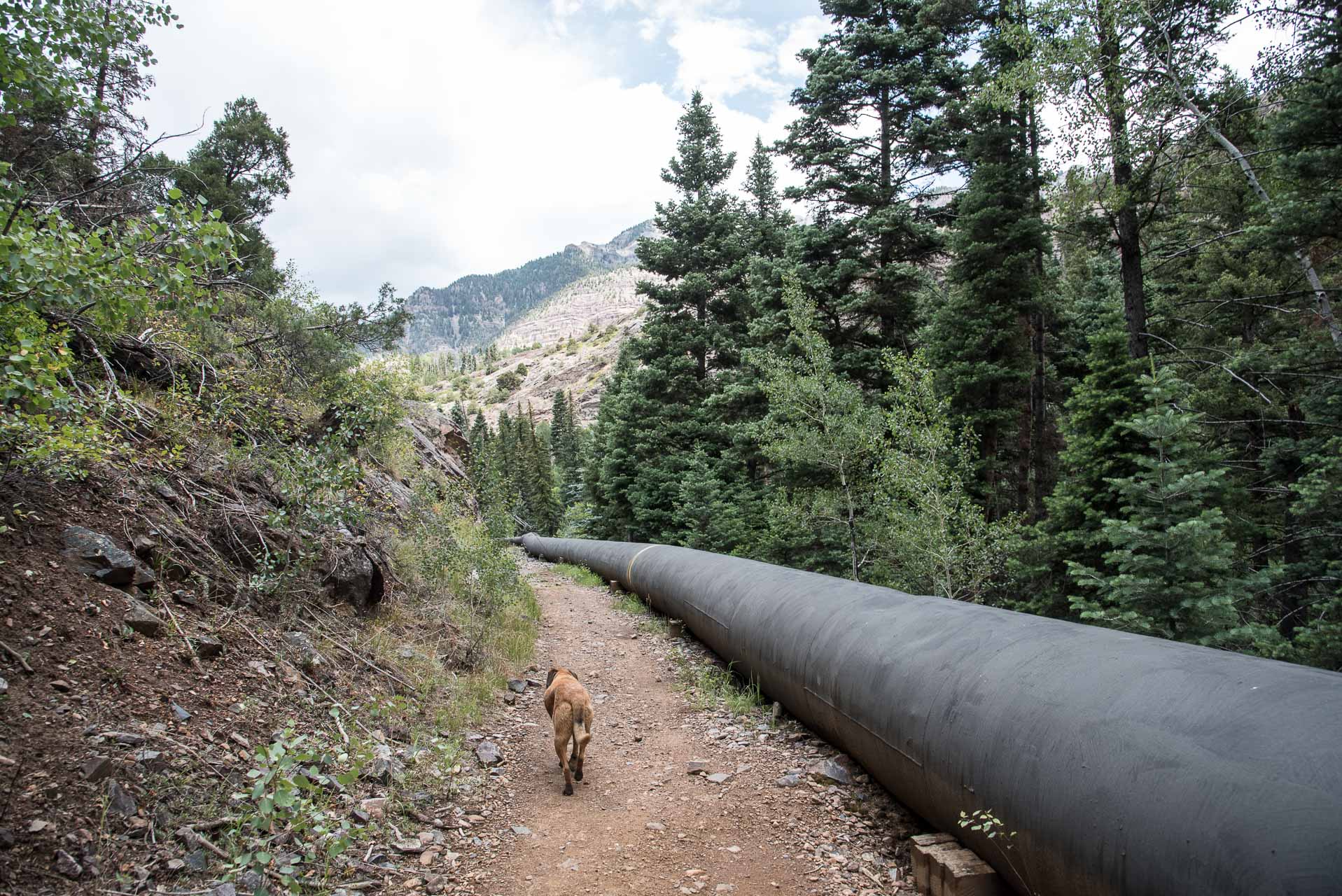
The trail meanders through some birch woods until you enter the Ouray Ice Park, which is marked by crossing over a large, black pipeline. The Ouray Ice Park is one of the premier ice climbing destinations in the world and hosts a famous festival in January each year. The park is manmade and takes advantage of the steep sides of the Uncompahgre Gorge.
We found a beautiful small pond along this stretch of trail and went down to let Bean swim. The water was practically glacial! Our dog is an obsessive swimmer, so we had to be careful not to allow her to swim too much. We waded in a short distance, but couldn’t withstand the frigid temperature for very long. It did have a nice cooling (numbing!) effect on our tired feet.
About 4.2 miles into the hike you’ll reach the Box Canyon High Bridge. Box Canyon a popular tourist attraction in the area. The metal grate bridge that crosses the canyon is suspended nearly 100 feet above the rushing water below. It was very impressive! We crossed around 1:00 PM on a Saturday, so we found it to be a little crowded and Bean was very nervous. Once across the bridge the trail goes through a rock tunnel and descends some stairs. The stairs are very steep, so the provided hand rail is reassuring.
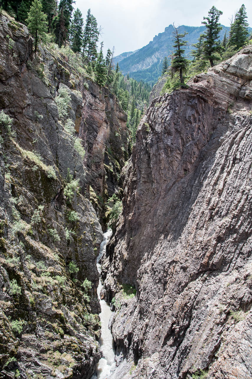
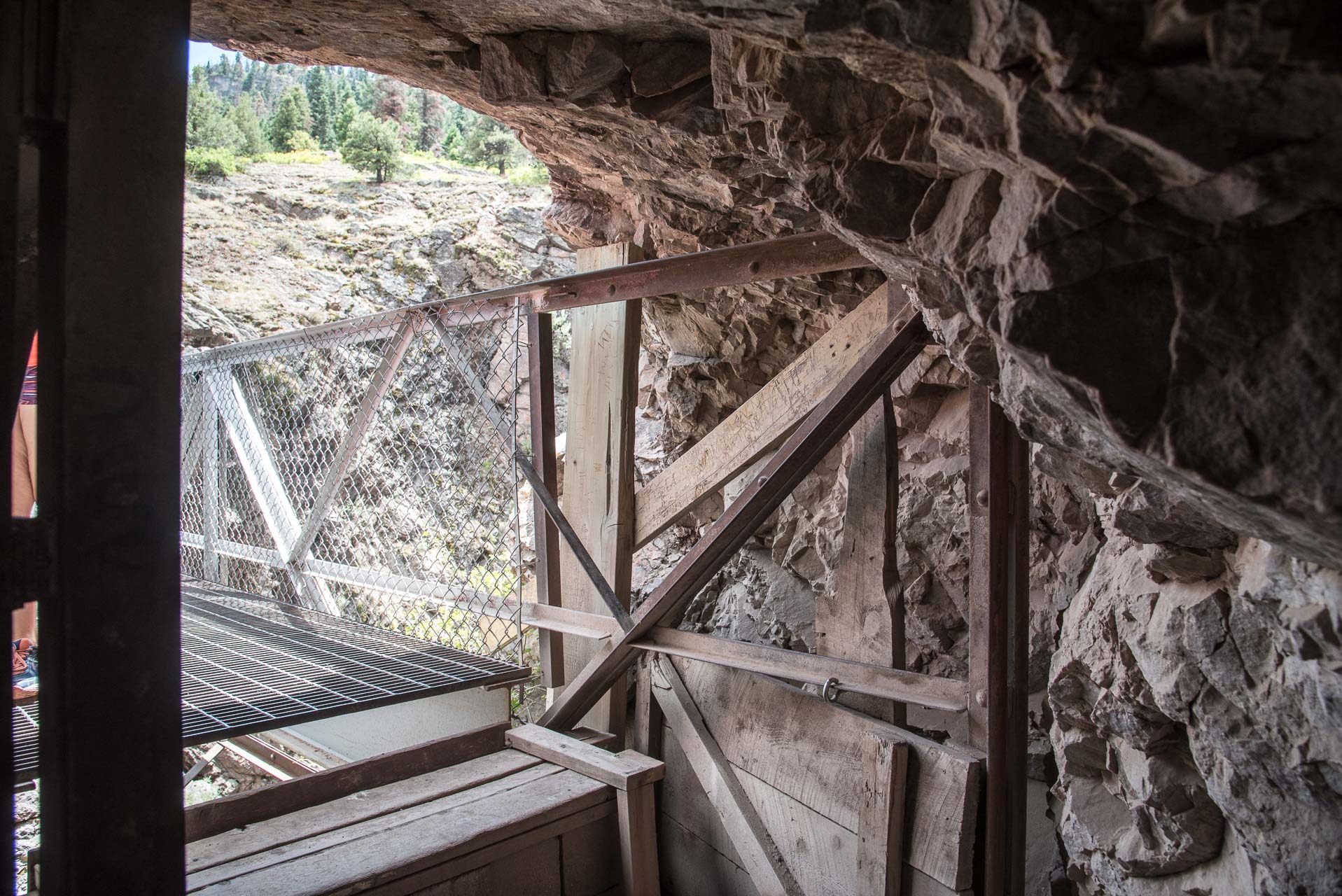
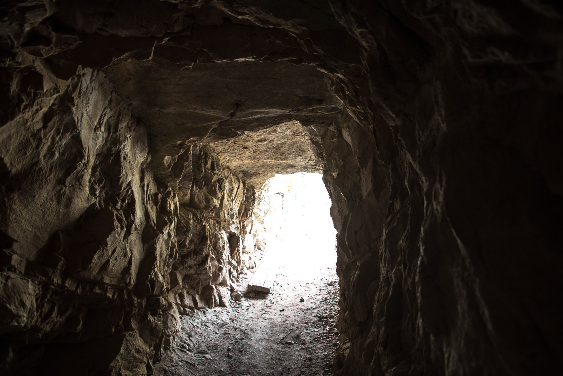
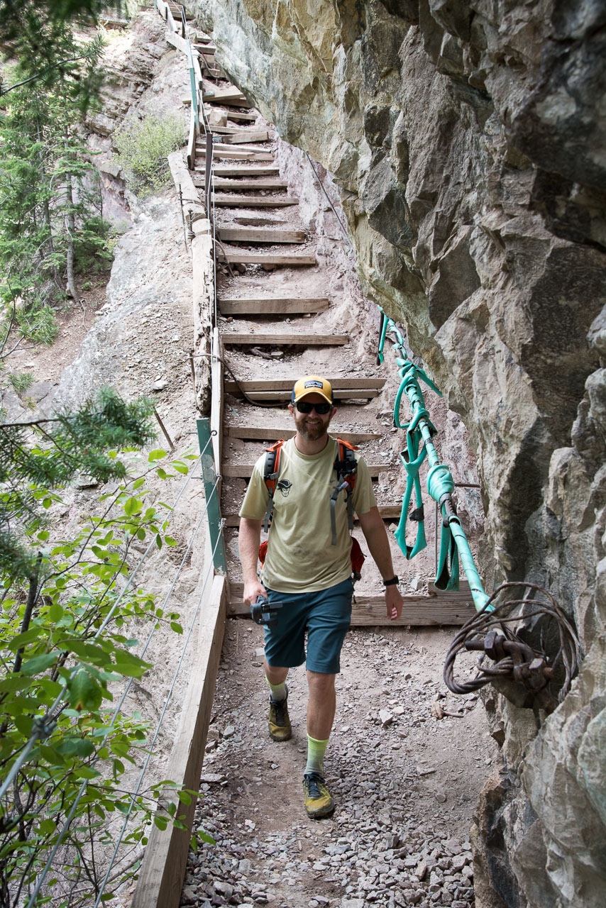
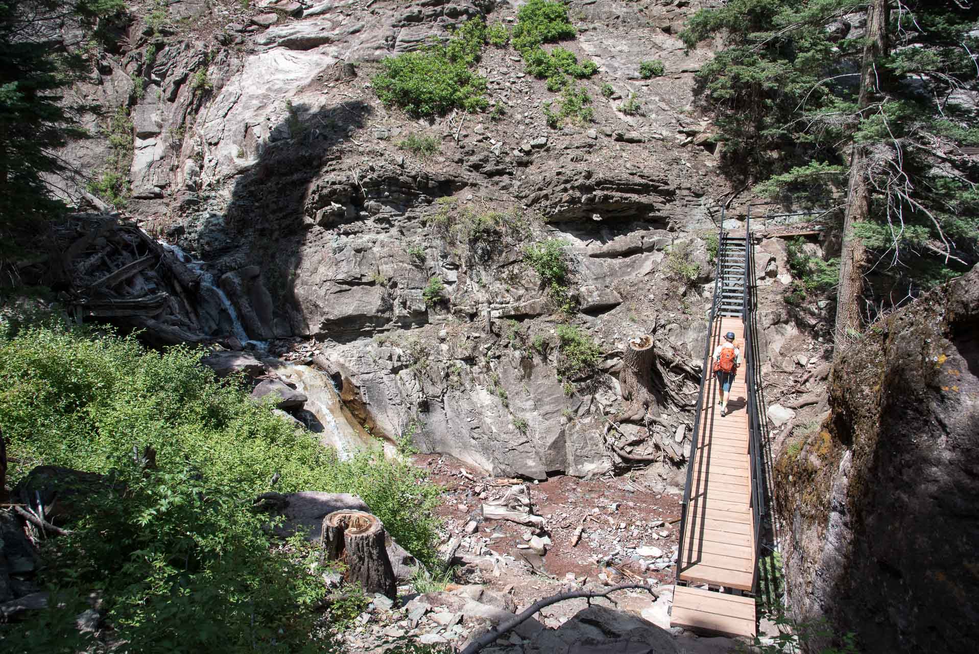
The trail continues for another three tenths of a mile before meeting up with Upper Pinecrest Road. You’ll travel on this gravel road for one switch back and then the trail branches off towards Oak Creek. This section of trail is relatively new, as is the bridge that crosses the creek.
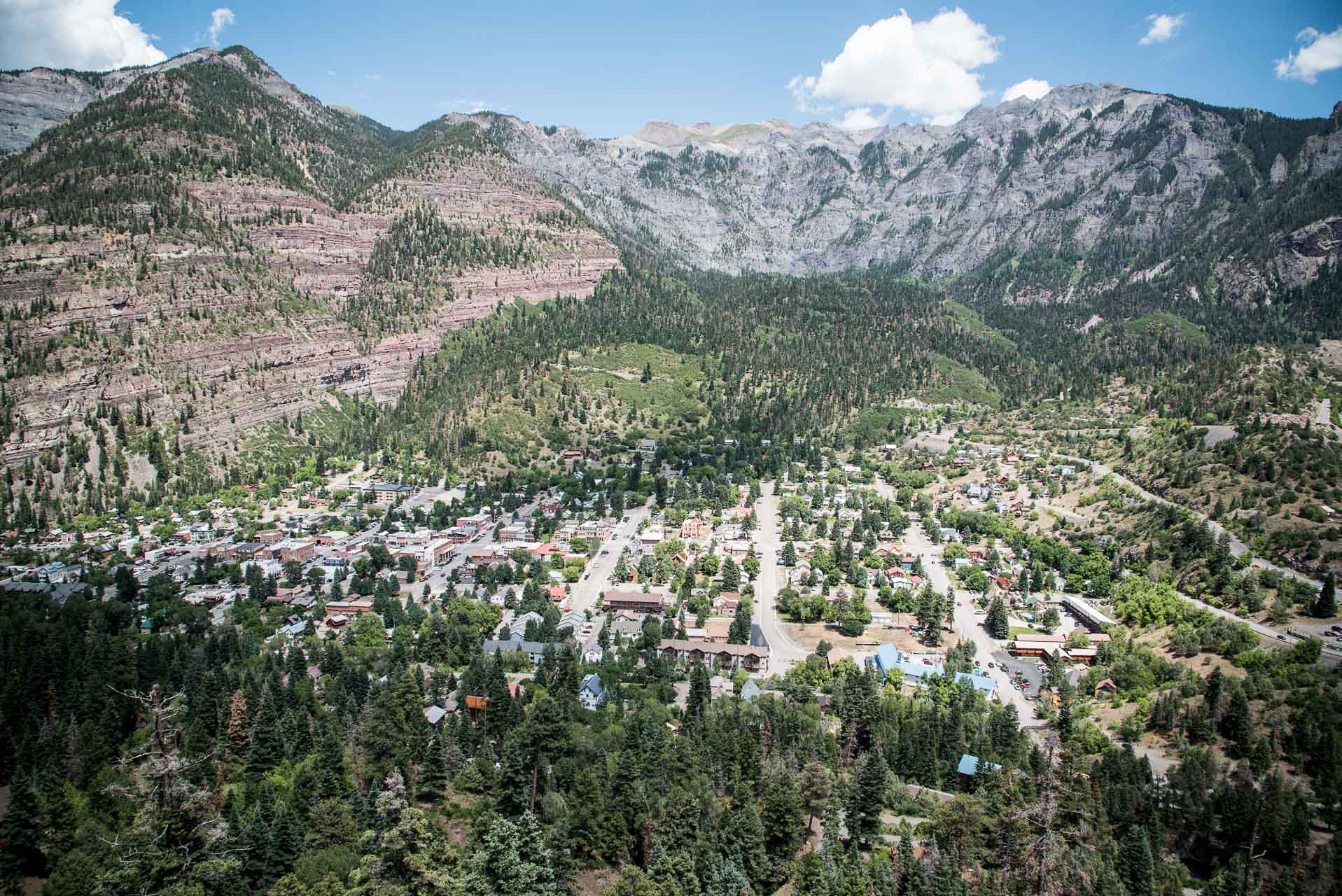
Before reaching the Oak Creek Bridge, there is an viewpoint overlooking the town and the surrounding mountains. This spot offered my favorite view of the whole hike – the Amphitheater is a stunning backdrop to this quaint mountain town.
From the bridge it’s just three tenths of a mile to Queen Street and the Twin Peaks Trailhead. To complete the loop you can follow the roads (Queen Street to Oak Street) back to the Visitor’s Center. We elected to head directly into town to grab a burger!
We highly recommend this hike for its scenic beauty – you get a lot of bang for your buck!
Thanks for reading our review of The Ouray Perimeter Trail! Please check out our video trail review of The Perimeter Trail on YouTube.
