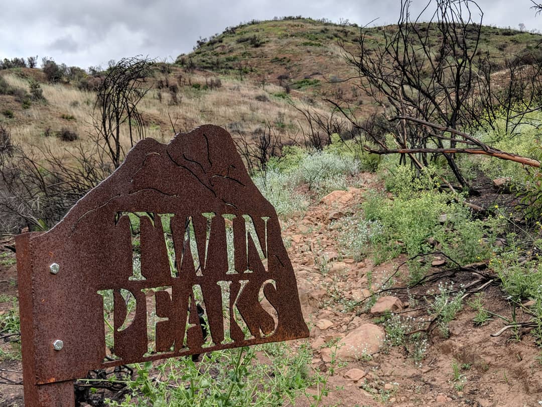

Name of Hike: Twin Peaks
Trail(s): Horn Canyon, L.Moore, Twin Peaks
Location: Ojai, CA
Wilderness Area: Los Padres National Forest
Type of Hike: Out-and-back
Difficulty: Strenuous
Distance/elevation: 4.68 miles, 1,868 ft elevation gain
Estimated Time Commitment: Hiking times can vary for a number of reasons, but we estimate most people would be able to complete this hike in 2-3 hours.
Views: Yes! There are countless photo ops on this hike – the best, of course, being from the summit. On a clear day you can see the Pacific Ocean and Channel Islands.
Popularity: The Twin Peaks Trail is not frequently traveled, so don’t expect to encounter many other humans (you may see wildlife, though!). The Horn Canyon Trail, however, is reasonably popular. It is entirely possible to encounter other hikers, equestrians and mountain bikers along that early stretch of trail.
Facilities/restrooms: None
Directions: This hike starts at the Horn Canyon Trailhead in Ojai, CA. If you’re approaching Ojai from the west – head east through town on the 150, take a left on Reeves Rd (immediately before Boccali’s restaurant – great food if you’re looking for a post-hike meal, we especially recommend their seasonal strawberry shortcake!), take another left on McAndrew Rd (follow all the way to the top of the hill), then take a right into The Thacher School campus (if the gate is closed there is some space to park along the street and then you’ll walk the rest of the way to the trailhead), take another right around the perimeter road of the campus, then take one last right on the dirt road and the Horn Canyon Trailhead will be on your left. Keep in mind that you are driving through private property to get to the trailhead, so please remember to drive slowly and be courteous. If you’re approaching this hike from the east you won’t actually reach the town of Ojai before the turnoff for Reeves Rd. Follow the 150 west, take a right on Reeves Rd (immediately after Boccali’s restaurant), then proceed according to the directions above.
Parking: There is space for several vehicles to park at the trailhead. There are no delineated spots, but seven cars can easily fit.

The hike to Twin Peaks is located in the Los Padres National Forest and is open to hikers, bikers, equestrians and dogs. More detailed and up-to-date information on the Los Padres National Forest available here.
This hike starts on the Horn Canyon Trail. This is a really nice trail – it starts out quite wide and has a very gradual incline. There are four water crossings on this trail (depending on the time of year and the severity of the drought there may not be water flowing), but you’ll only cross once on your way to Twin Peaks. You’ll hike along the Horn Canyon Trail for less than three quarters of a mile and just a little ways past the first creek crossing is the intersection for the L.Moore Trail. Take a left on the L.Moore Trail and follow it for about a quarter mile until you reach the Twin Peaks Trail marker on the right. The trail is reduced to a single track once you get on the L.Moore and the terrain becomes slightly more challenging.


The Twin Peaks Trail is a challenging single track that rises steeply over the next mile and a half to the summit (elevation: 3,231 ft). The majority of the 1,868 ft of elevation change is gained in this short stretch. As mentioned before, there is no access to water on this trail. Additionally, there are no trees – just native chaparral. Make sure to plan accordingly by bringing lots of water and wearing/applying appropriate sun protection. The condition of the trail is not great, but passable. The Thomas Fire and subsequent rains had a significant impact on the trail condition through erosion and regrowth . The lower half of the trail is deeply rutted in spots and strewn with rocks, while the upper half is shaley and loose in sections. The rains this winter rejuvenated the native flora causing plant life to dominate and overwhelm the trail at the time of our hike. The juxtaposition of the remnants of burned brush and the blooming new growth is beautiful. While the magnitude of the Thomas Fire was truly devastating, fire is a natural part of this type of landscape. The recovery has been fascinating to watch. For some stats on the Thomas Fire visit the Cal Fire website here.


There are two short stretches where the trail levels out, the second coming right before the final push to the peak. The last three tenths of a mile are a series of switchbacks that climb just under 400 feet to the summit. There is not much room at the top and no shade, but the view is a stunning 360° panorama of the Ojai Valley and the Topatopa Mountains. On a clear day you can see as far as the Pacific Ocean and the Channel Islands.


This is an out-and-back trail, so you will proceed back to the Horn Canyon Trailhead the same way you came up.

Fun fact: this is the first hike that Conner and I did together. We started dating soon-there-after and the rest is history! In November 2015, Conner proposed to me at the top of Twin Peaks. We hiked it again with some of our family and friends the day before we tied the knot in 2016. Basically, this is a really special hike!


Thanks for reading our review of Twin Peaks! Please check out our video trail review of Twin Peaks on YouTube.
